|
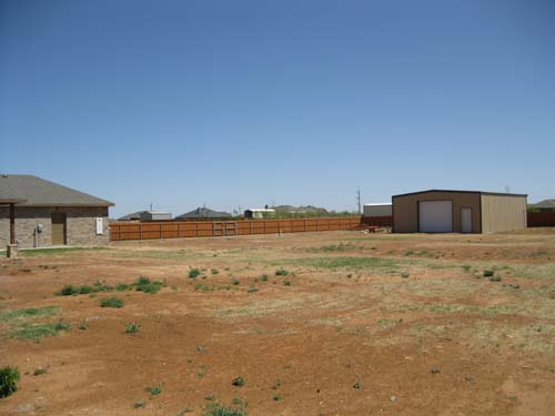
A Little about the Dirt. Lubbock County is located in Northwest Texas on the Southern High Plains within the larger Great Plains of the western United States. The flat, nearly level treeless plain has few streams to cause local relief. However, several major rivers originate in the High Plains or cross the area. The largest is the Canadian River, which has cut a deep valley across the Panhandle section.
Texas Alamanac describes the soil in Lubbock County as "mainly brown to reddish-brown loams and sandy loams, with smaller areas of grayish-brown, silty clay loams. These overlie a clay subsoil and, beneath that, at from two to three feet from the surface, a hardpan of caliche made of calcium carbonate. This caliche forms the Caprock, which has generally prevented streams from cutting their way through the area. Beneath the caliche zone lie beds of water-filled sand of varying thickness but averaging about 300 feet; these make up a part of the great Ogallala Aquifer, formed some ten million years ago as great rivers deposited sand from the Rocky Mountains over an area extending several hundred miles east of the mountains, from what is now Canada to the South Plains of Texas. s are mostly well-drained, deep, neutral to alkaline clay loams and sandy loams in shades of brown or red. Sandy soils are in the southern part. Many soils have large amounts of lime at various depths and some are shallow over caliche. Soils of bottomlands are minor in extent."
The area is used mostly for cropland, but significant areas of rangeland are in the southwestern and extreme northern parts. Millions of cattle populate the many large feedlots in the area. The soils are moderately productive, and the flat surface encourages irrigation and mechanization. Limited soil moisture, constant danger of wind erosion, and irrigation water management are the major soil-management problems, but the region is Texas’ leading producer of three important crops: cotton, grain sorghums, and wheat. |